Faculty Member | Department of Geosciences | University of Oslo

Integrating geosciences, geophysics, remote sensing and archaeology to study complex landscapes.

My work brings together field instrumentation, near-surface imaging, LiDAR, UAV sensing, spatial analysis and scientific software. I work across environmental and archaeological questions, with a strong emphasis on geoscientific methods that connect field measurements, interpretation and reusable research infrastructure.

Geosciences Near-surface geophysics Archaeology Remote sensing LiDAR Scientific software
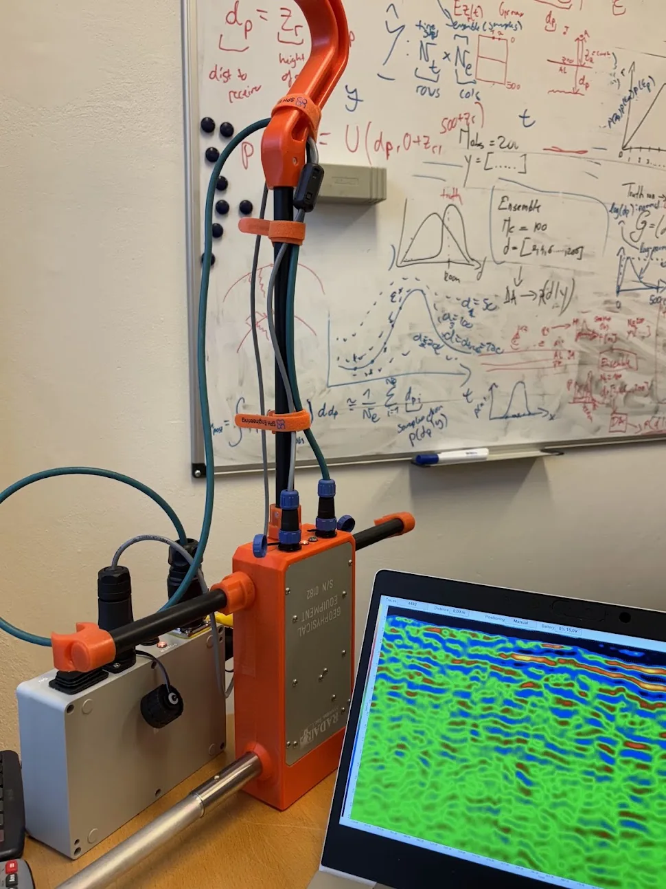
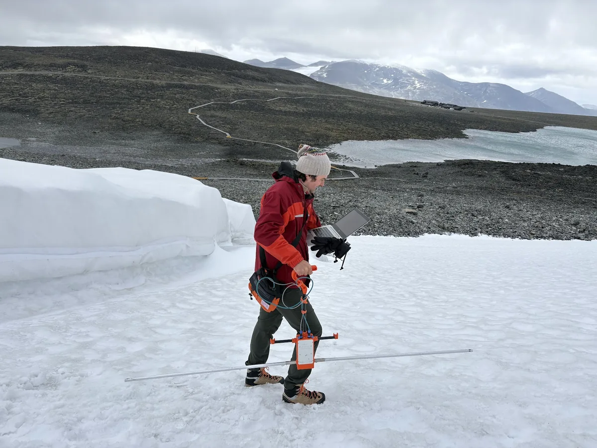
Field geophysics · mobile acquisition
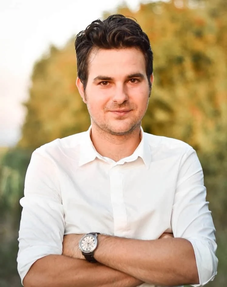
Portrait of Alexandru Hegyi

Academic profile

Field-based, interdisciplinary and method-driven.

I work at the intersection of geosciences, geophysics, archaeology and spatial science. My background in archaeological prospection has developed into a broader research profile spanning environmental geophysics, cryosphere applications, remote sensing, digital landscapes and scientific tool development.

The common thread is methodological: choosing and combining measurements that make difficult landscape questions more observable.

01 / Research

Research areas

My work is organised around a set of complementary methods rather than a single discipline. Geosciences form the broad frame, while geophysics, archaeology, environmental monitoring and remote sensing provide the scientific contexts in which I work.

01
Low-frequency GPR survey on snow in a mountain environment

Environmental & near-surface geophysics

Subsurface imaging and monitoring

ERT, GPR and repeated measurements are central to my work on near-surface structure, environmental change, permafrost and cryosphere-related problems, infrastructure and difficult terrain.

ERT · GPR · time-lapse monitoring · modelling · quality control

02
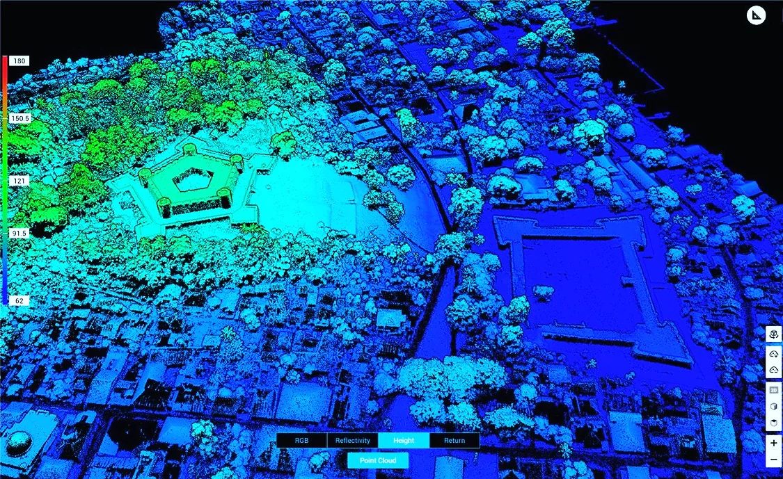
Elevation-coloured LiDAR point cloud

Remote sensing & spatial analysis

Landscapes from the air and from the ground

LiDAR, photogrammetry, satellite imagery, GIS and terrain models provide the surface context for geophysical observations and support landscape-scale environmental and archaeological analysis.

LiDAR · photogrammetry · GIS · satellite data · terrain modelling

03
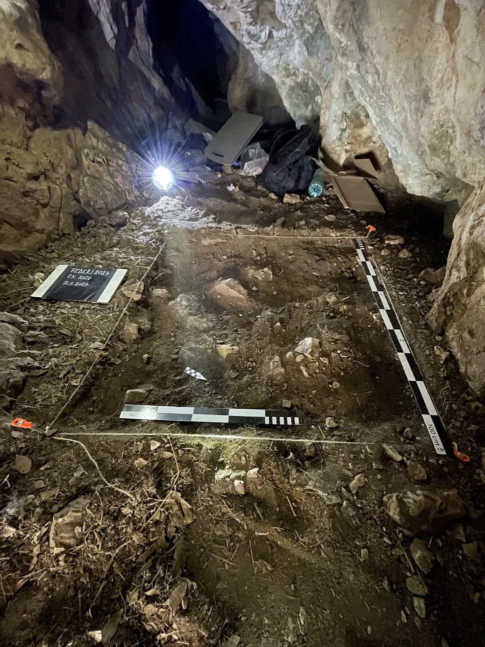
Archaeological excavation inside a cave

Archaeology & geoarchaeology

Geophysical methods in archaeological landscapes

Archaeology remains an important part of my research identity, particularly where geophysical prospection, landscape archaeology, excavation context, cultural heritage and digital documentation meet.

Prospection · settlement archaeology · cultural landscapes · 3D documentation

04
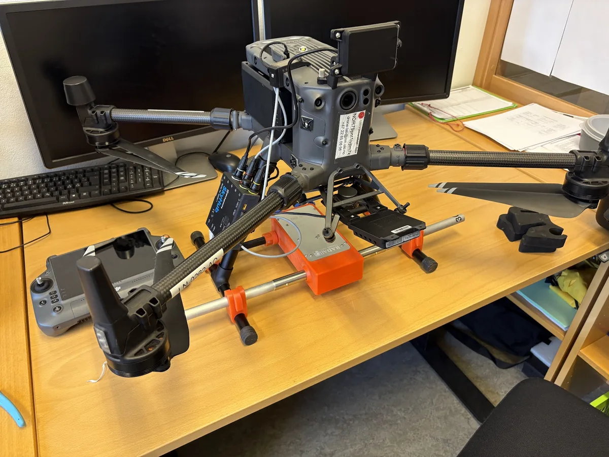
Research UAV with geophysical sensing equipment

UAV sensing & instrument development

Developing new acquisition approaches

I am interested in UAV-based geophysical workflows, including sensor adaptation, positioning, survey geometry and the practical constraints of working in steep, remote or hazardous environments.

UAV · payload integration · positioning · survey design · terrain adaptation

05
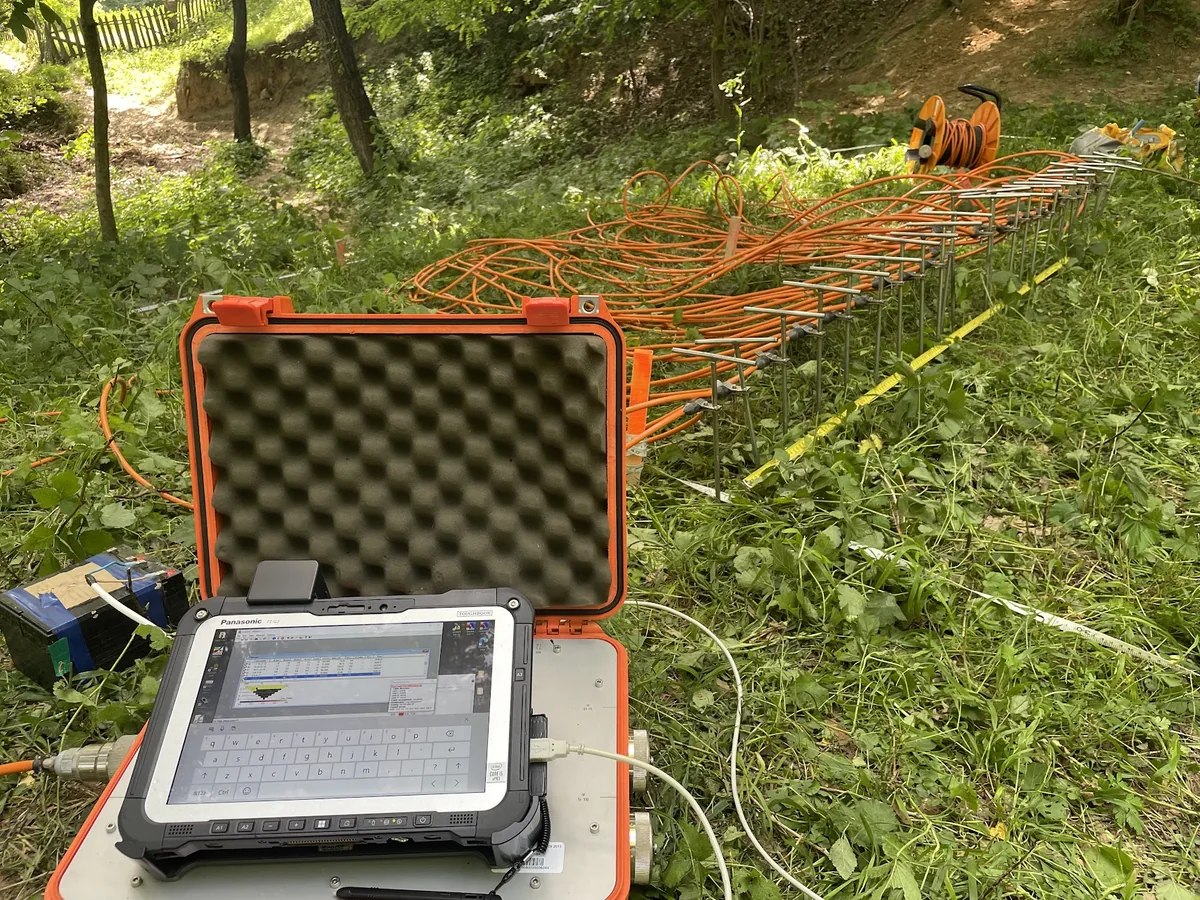
ERT acquisition field photograph

Scientific applications

Tools built around the science

I develop research-facing software and interfaces for inversion, monitoring, visualization, quality control and data exploration. The software follows the scientific workflow rather than the other way around.

Monitoring · inversion · visualization · QC · research interfaces

02 / Platforms

Research infrastructure

Examples of how research workflows can be translated into public or research-facing platforms.

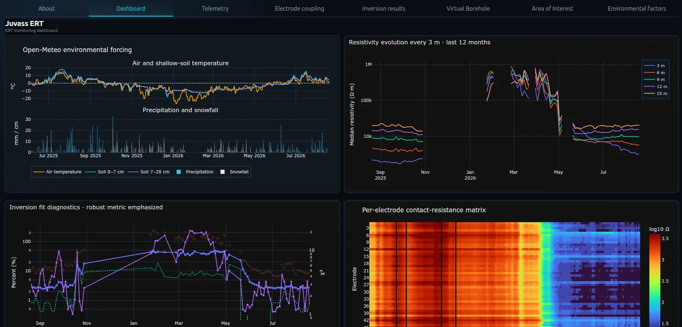
Juvass ERT Monitor
Juvass ERT monitoring platform preview

Automated geophysical monitoring

ERT Monitoring Platform

A research environment for remote ERT monitoring, time-lapse interpretation, quality control and long-term environmental observation.

Open Juvass monitor ↗

03 / Projects

Selected projects

Projects that illustrate the interdisciplinary character of my work and the different scales at which I have applied geophysical, archaeological and digital methods.

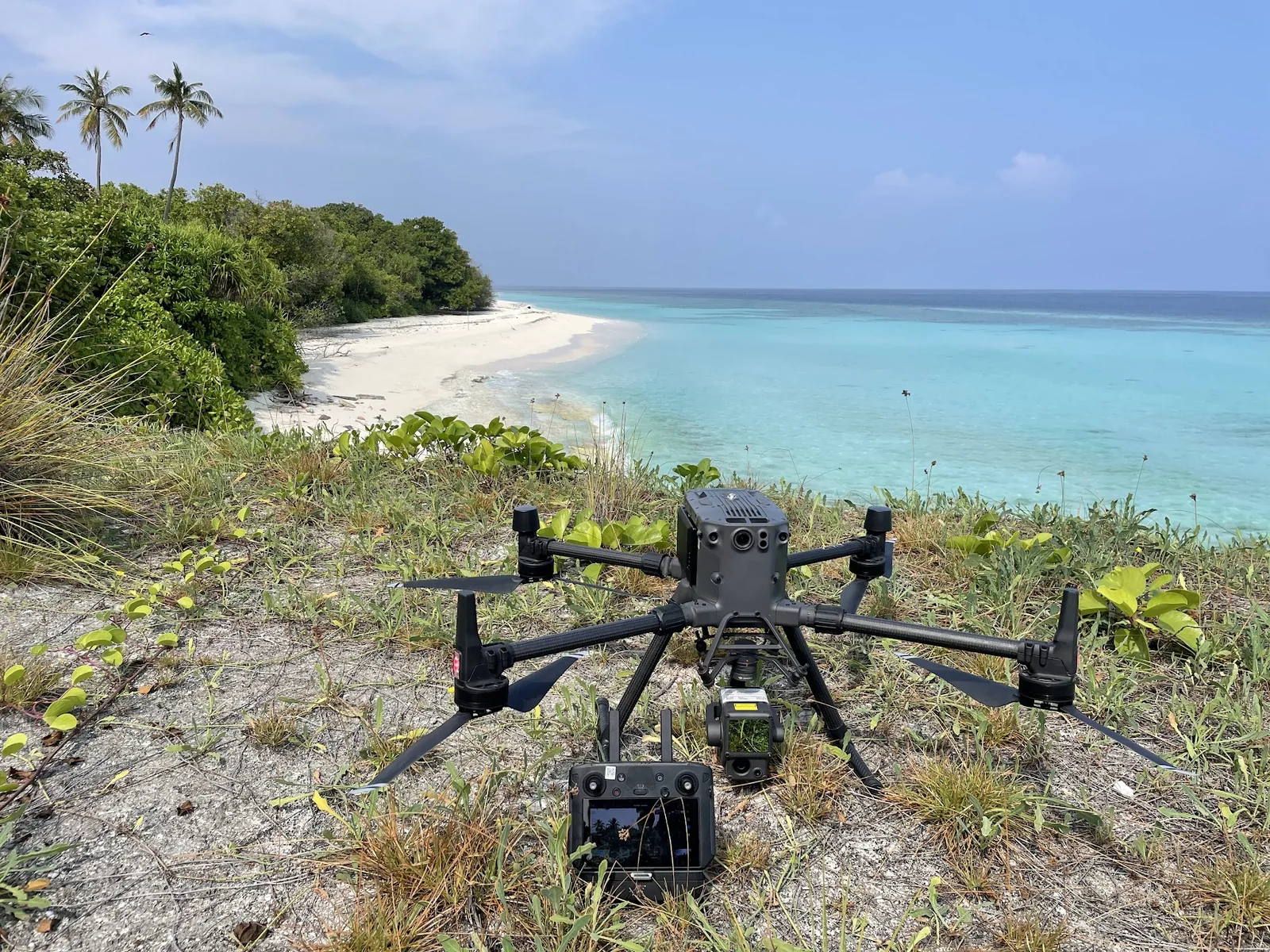
Drone survey setting in the Maritime Asia Heritage Survey project

Kyoto University · Digital Heritage Manager

Maritime Asia Heritage Survey

International digital heritage research documenting endangered historical and archaeological heritage across coastal and island Southern Asia, including LiDAR, photogrammetry, UAV survey, GIS and 3D documentation.

Digital heritageLiDARPhotogrammetryGISArchaeology
Project website ↗
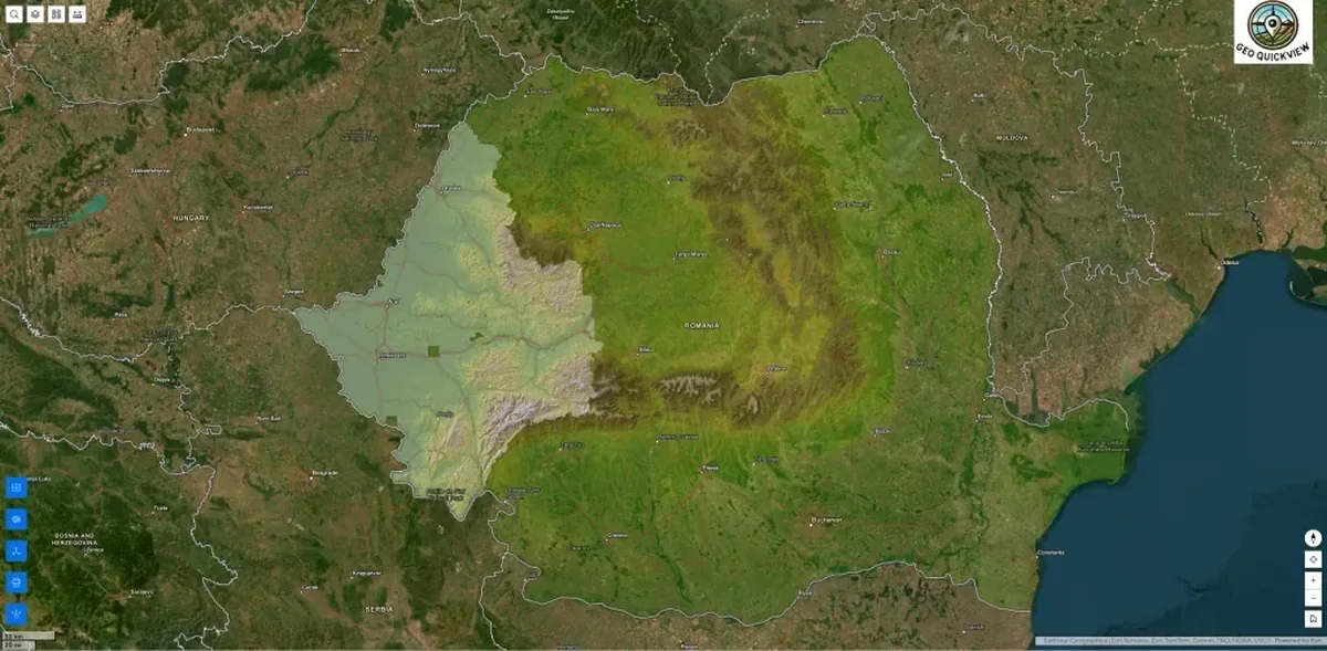
Bratari landscape image representing the MegaFORTS project

Principal Investigator / Director

MegaFORTS

An interdisciplinary geoarchaeological project focused on large Bronze Age fortifications in southwestern Romania, combining archaeological questions with geophysics, remote sensing and landscape analysis.

GeoarchaeologyGeophysicsRemote sensingLandscape analysis
Project website ↗
Concept image representing the BID Big Data Science project

West University of Timișoara

BID — Big Data Science

A multidisciplinary initiative aimed at strengthening institutional capacity for data-intensive research, computation and cross-domain digital workflows.

Big dataResearch infrastructureDigital workflows
Project website ↗

04 / Published work

Research themes reflected in my publications

My publication record spans geophysical prospection, archaeology, remote sensing, environmental applications and the digital methods that support modern geoscientific research.

01

Geophysical prospection

Magnetics, ERT, GPR, anomaly recognition and multi-method interpretation for mapping and characterising subsurface structure.

02

Archaeology & cultural landscapes

Archaeological landscapes, large fortifications, settlement structure and site interpretation using geophysics and spatial analysis.

03

Remote sensing & terrain analysis

LiDAR, satellite imagery and terrain modelling for environmental and archaeological landscape interpretation.

04

Environmental geophysics

Time-lapse ERT, seepage, cryosphere and other applied near-surface problems where repeated measurements capture change through time.

05

Digital research methods

Reproducible workflows, automated processing and public-facing tools for making complex geoscientific data easier to use.
05 / Research films

Visual introductions to the work

Short films showing field methods, geophysical survey and digital reconstruction.

06 / Teaching

Teaching at the University of Oslo

My teaching connects field measurement, instrumentation, spatial data, processing and interpretation. I use real datasets and practical examples so that methods remain connected to the scientific problems they are meant to solve.

07 / Geoscreening

Applied geoscience and site intelligence

Geoscreening is the professional framework through which I bring together applied geoscience, integrated geophysical workflows and practical site intelligence.

Geoscreening website visual

The focus is on integrated geoscience: combining geophysical methods, spatial analysis and tailored interpretation in a form that is useful for research, heritage and applied site investigation.

  • Applied geoscience and geophysics
  • Integrated site investigation
  • Spatial analysis and geodata interpretation
  • Scientific and technical communication
Visit Geoscreening ↗

08 / Contact

Contact

For research collaboration, teaching, scientific software, field projects or applied work:

Alexandru Hegyi during coastal fieldwork